


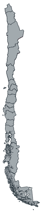


Ruta de los Seismiles: Touch the sky in the Atacama Region
By: Gabriela Salina - 19 November, 2021
The Ruta de los Seismiles is a route that covers more than 15 summits of the Andean Mountain Range that exceeds 6,000 meters above sea level (mamsl). Among them, it is possible to distinguish the Ojos del Salado volcano and Nevado Tres Cruces, as well as lagoons and salt flats such as Salar de Pedernales, Maricunga, Laguna Santa Rosa, Laguna Verde and Laguna del Negro Francisco.
The Ruta de los Seismiles in the Atacama Region leads us to discover a route that allows us to see several of the highest summits in Chile: the Ojos del Salado volcano, the Nevado Tres Cruces, and highland lagoons such as Laguna Verde and Santa Rosa.
This route can be done during the day from Copiapó, staying in mountain shelters or in a tent. The last option is recommended exclusively if you have equipment and experience in the mountains. A large part of the Ruta de los Seismiles runs about 4,000 meters above sea level (mamsl).
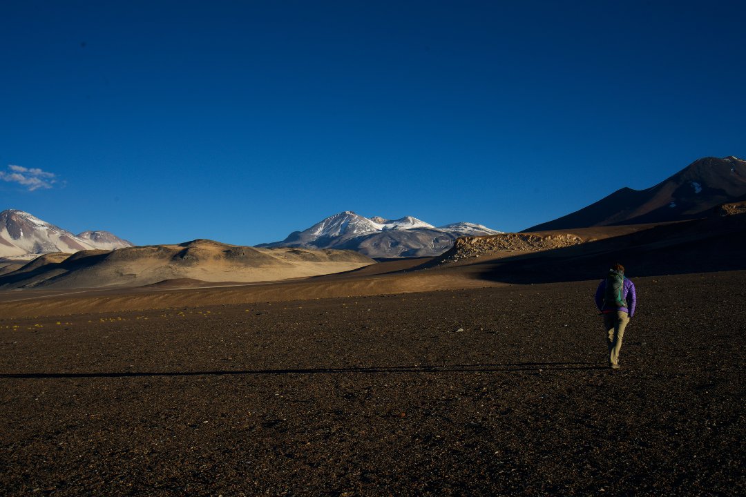
The road begins until reaching the paso of Maricunga (4.100 mamsl) with an amazing view of the Macizo Tres Cruces (6.749 mamsl main summit) and the homónimo national park, north zone. When you go down the slope, we find the first great attraction of the Ruta de los Seismiles, the Laguna Santa Rosa, at 3,762 mamsl, located within the Nevado Tres Cruces National Park.
There is a shelter with basic equipment that can be used. Another alternative is to camp in the surroundings.
The lagoon surprises us with a viewpoint and trails to observe the flora and fauna in the sector such as guanacos, vicuñas, and flamingos. On the southern side of the lagoon, on top of an adjoining hill, there is a small viewpoint with information about the hills in the sector.

Photo by: Alex Fuentes
La Puna de Atacama
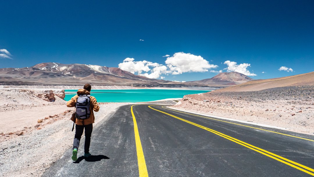
By taking the route to the Llano de Piedra Pómez, we begin to discover the summits over 6,000 mamsl. Its landscape is known as «Puna de Atacama», where you can see the Ojos del Salado volcano. The highest active volcano in the world with 6,893 mamsl.
The Laguna Verde, named for its salty emerald waters, is located at 4,200 mamsl. Furthermore, it has hot springs, a basic shelter, and the possibility to camp in its surroundings.
During the summer, it is possible to find ice penitents in the surrounding area of the lagoon.
If we continued along the road, we will reach the Paso San Francisco and the border with Argentina.
Unmissable experiences: circuits and trails
Within the Ruta de los Seismiles, there are different circuits that can be done.
The Laguna Santa Rosa – Salar de Maricunga hiking circuit, at 36-kilometers route, with an average height of 3,700 mamsl.
The Sendero de Chile, Laguna del Negro Francisco section: a 24-kilometers road that surrounds the lagoon, with an average height of 4,000 mamsl.
The Approach Circuit for expeditions to climb the Ojos del Salado, from 8 to 10 days. With heights ranging from 4,300 mamsl in the Laguna Verde, sector to 6,893 mamsl at the summit of the volcano.
The Salar de Pedernales trail, whose viewpoint is near the antigua Mina de Bórax.
The routes lack asphalt. It is essential to have a 4×4 and experience in height; otherwise, it is advisable to hire the services of a local adventure tourism agency. It is important to have the appropriate state of health for the mountain and it is preferable to consult a doctor before doing the circuit with children under 10 years of age.

Climb to the Nevado Ojos del Salado volcano
Climbing to the Summit of the highest active volcano in the world is a challenge for people who love mountaineering. It is a reserved experience for people with a lot of training in high mountains and in good physical condition.
The best time to climb is between October and April and it takes at least 8 to 10 days to climb to the top.
The volcano has 2 refuges: Universidad de Atacama at 5,200 mamsl, with a capacity for 4 to 6 people. The second refuge is Cesar Trejos. It is located at 5,750 mamsl, with a capacity for 12 people, and it has a dining room and kitchen.
As it is a summit that borders Argentina, the foreign tourist must request permission from the National Department of State Borders and Boundaries (DIFROL, for its Spanish acronym for the climb. On the trans-Andean side, this section corresponds to Ruta Nacional 60 (National Route 60) that begins in Fiambalá and ends in the Paso de San Francisco.
As a curious fact, the highest inactive volcano in the world is on the Argentine side. It is Monte Pissis, with 6,792 mamsl.
These are some of the summits over 6,000 meters that abound on this route:
- Nevado Ojos del Salado (6,893 m)
- Nevado Tres Cruces (6,749 m)
- Cerro El Muerto (6,470 m)
- Cerro Barrancas Blancas (6,119 m)
- Cerro Ermitaño (6,187 m)
- Incahuasi (6,615 m)
- Volcán Solo (6,205 m)
- Volcán Copiapó or Cerro Azufre (6,052 m)
- Volcán San Francisco (6,018 m)
- Vicuña (6,067 m)


