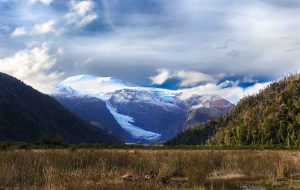
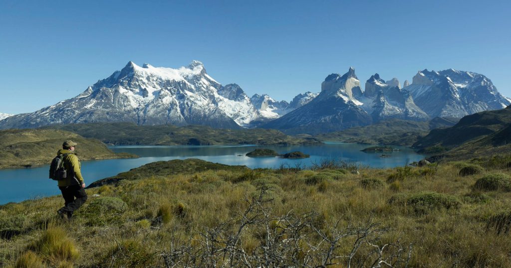
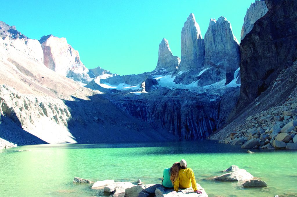
Pumalín Douglas Tompkins National Park was created in 2018 and extends across the provinces of Cochamó, Hualaihué, Chaitén, and Palena. Its beautiful surrounding of Valdivian forest is topped with the Michimahuida and Chaitén volcanoes in the background.
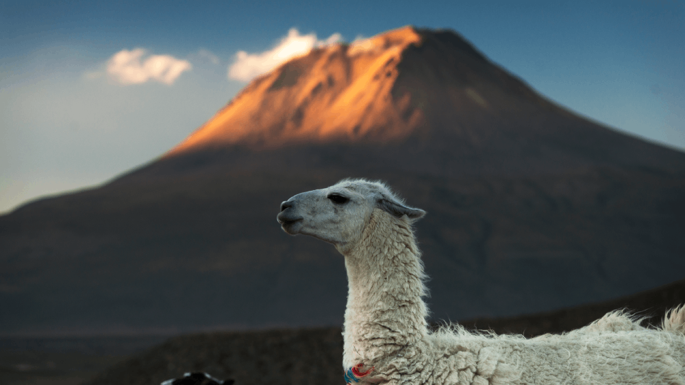
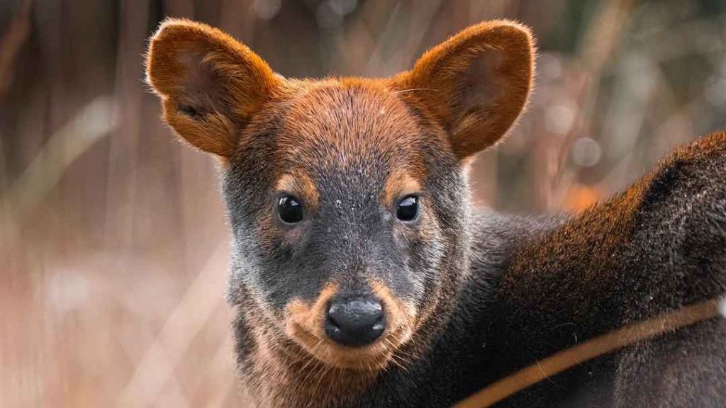
25% of the larch forest in the country is here, a tree species that is sadly endangered. Regarding the fauna, you will find mammals such as the chuchungo, monito del monte, coypu, and culpeo fox, as well as birds such as swans, flamingos, pelicans, least grebe, and swallows.

What you must know before going to the park
Pumalín Douglas Tompkins National Park opens from 9:00 a.m. to 5:00 p.m. Entry is free, and the trails must be done in the morning because you must be outside by 4:00 p.m.
The park has campsites and picnic areas, and even a restaurant. It has trails of diverse difficulties, the longest being the one that tours the Michimahuida Volcano, which takes eight hours and has medium difficulty.
Another well-known trail is the one that crosses Chaitén Volcano, which takes three hours, and has high difficulty, whereas for the beginners, the easiest trails are Ranita de Darwin, Punta de Lago, Alerce, and Interpretativo El Volcán.
How to get to Pumalín Douglas Tompkins National Park
If you are going by car from Puerto Montt, you must travel 49 km on Ruta 7 heading south until reaching Caleta La Arena, where there is a ferry that crosses to Caleta Puelche.
Travel another 60 km south to arrive in Hornopirén. You must take a barge with the companies Transportes Austral or Somarco to cross to Leptetu from there, a trip that takes around three and a half hours and must be previously coordinated.
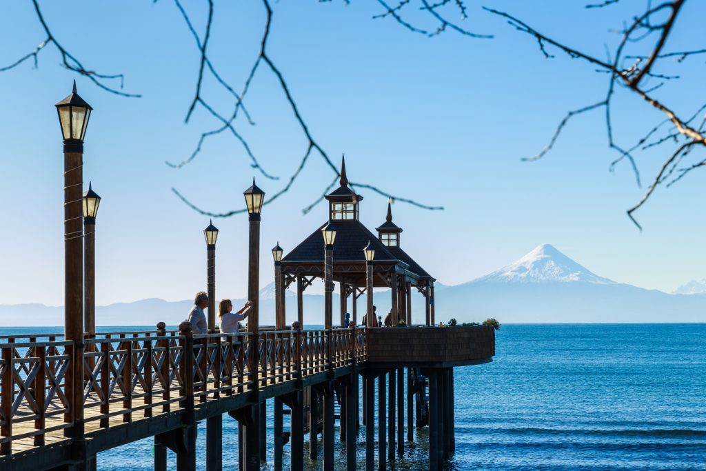
You must now travel 10 km to take a second barge in the Fiordo Largo area. In 40 minutes, you will arrive in Caleta Gonzalo, a place where the Carretera Austral restarts, and where most of the tourism infrastructure of the Pumalín Douglas Tompkins National Park is located.
Keep in mind that there are buses that depart from Puerto Montt to the park. If you are travelling from the south, you must arrive from Ruta 7 to El Amarillo area.
Get to know the Route of the Parks
Focused on preservation, the project Route of the Parks aims to sustainable tourism being motor of the local economies in Patagonia. Born as part of the initiative, the Pumalín Douglas Tompkins National Park rises with its unique biodiversity, and as shelter for endangered species.
The Route of the Parks is a preservation project boosted by the Rewilding Chile Foundation that seeks to support an alternative view of regional development. It extends over 2,800 kilometers (km), from Puerto Montt to Cabo de Hornos, connecting seventeen national parks, and more than sixty communities.
The initiative protects around 11.8 million hectares. To get an idea of its importance, the territory is equivalent to a third of Chile.
A key milestone in the story of the Route of the Parks happened in 2018, when the Tompkins Conservation Chile Foundation donated over 400,000 hectares to the government for the creation of protected wildlands. The transaction allowed for the creation of the Melimoyu, Patagonia, and Pumalín National Parks. Next, we will talk about this last one.